Space applications
Uttar Pradesh proposes space mapping for plots and houses
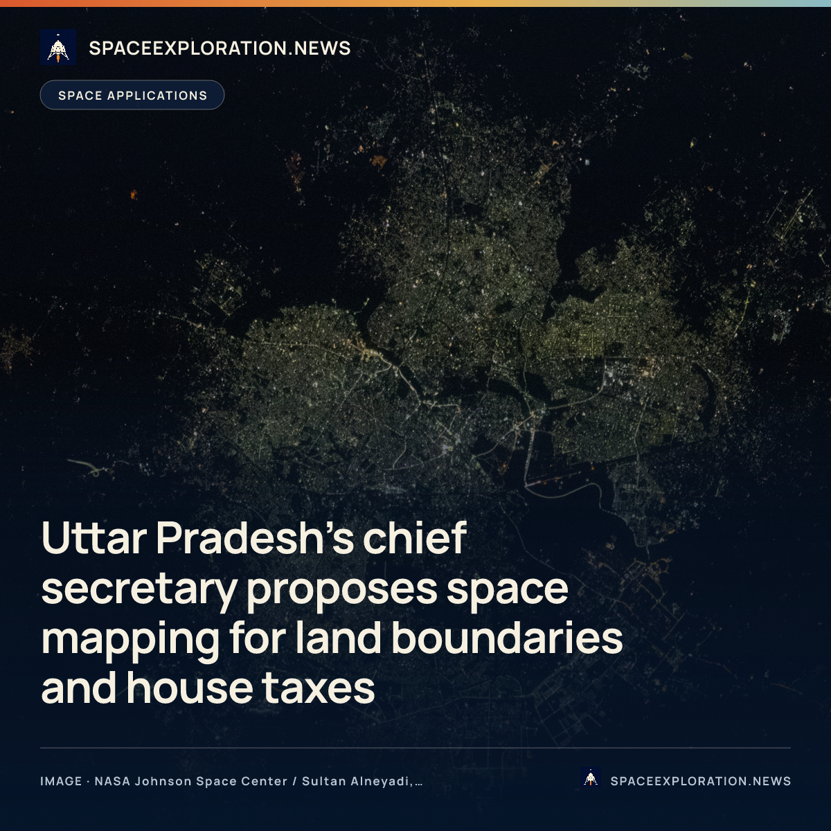
Chief Secretary S.P. Goyal raised the land-boundary and municipal-tax uses at the 8 October Lucknow workshop. The reports do not provide an implementation timetable.
Add us as a preferred source on Google Add us as a preferred source on Google
Uttar Pradesh Chief Secretary S.P. Goyal proposed geotagging plots and mapping houses through space applications at a Lucknow workshop on 8 October. The Times of India’s 9 October report describes the proposals as ways to provide land-boundary information and strengthen municipal building-tax administration.
Goyal advocated geotagging all plots so farmers and landowners could obtain boundary information and resolve land disputes, according to The Times of India. Sachin Malik’s 8 October report in Touch with World adds that Goyal said changes to land-revenue regulations could be considered if necessary. It does not identify an adopted amendment.
For houses, Goyal proposed using space applications to map properties and strengthen the building-tax system, The Times of India reports. His stated purpose was to improve urban local bodies’ revenues; the report does not establish that mapping has already increased collections.
The two-day Space Applications Adoption Workshop began on 8 October, organised jointly by the Remote Sensing Applications Center, Uttar Pradesh, IN-SPACe under the Department of Space, and the state Urban Development Department, according to The Times of India. The reviewed accounts do not specify a mapping accuracy, satellite system or implementation timetable for Goyal’s proposals.
Reporting trail
Primary sources
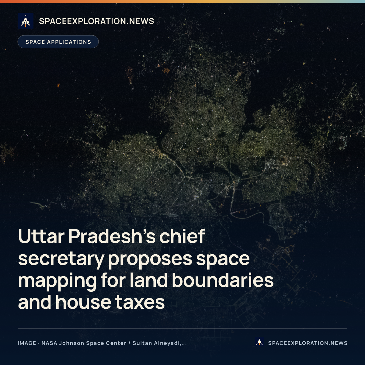
For an image post, download the card and copy this suggested caption.
Chief Secretary S.P. Goyal raised the land-boundary and municipal-tax uses at the 8 October Lucknow workshop. The reports do not provide an implementation timetable. Read the full report: https://www.spaceexploration.in/news/uttar-pradesh-space-mapping-workshop-proposals #SpaceExplorationNews #SpaceNews #SpacePolicy