Satellite fire monitoring
iFOREST launches Fire Watch for satellite crop-burning monitoring
The public tool combines fire detections, daily timing and seasonal burnt-area estimates across four Indian states. Burnt-area analysis is released after the season.
Add us as a preferred source on Google Add us as a preferred source on Google
iFOREST launched Fire Watch on November 5, 2026, to monitor crop-residue burning in Punjab, Haryana, Uttar Pradesh and Madhya Pradesh. The International Forum for Environment, Sustainability and Technology’s dated launch release describes a public dashboard with interactive maps, charts and district-level observations.
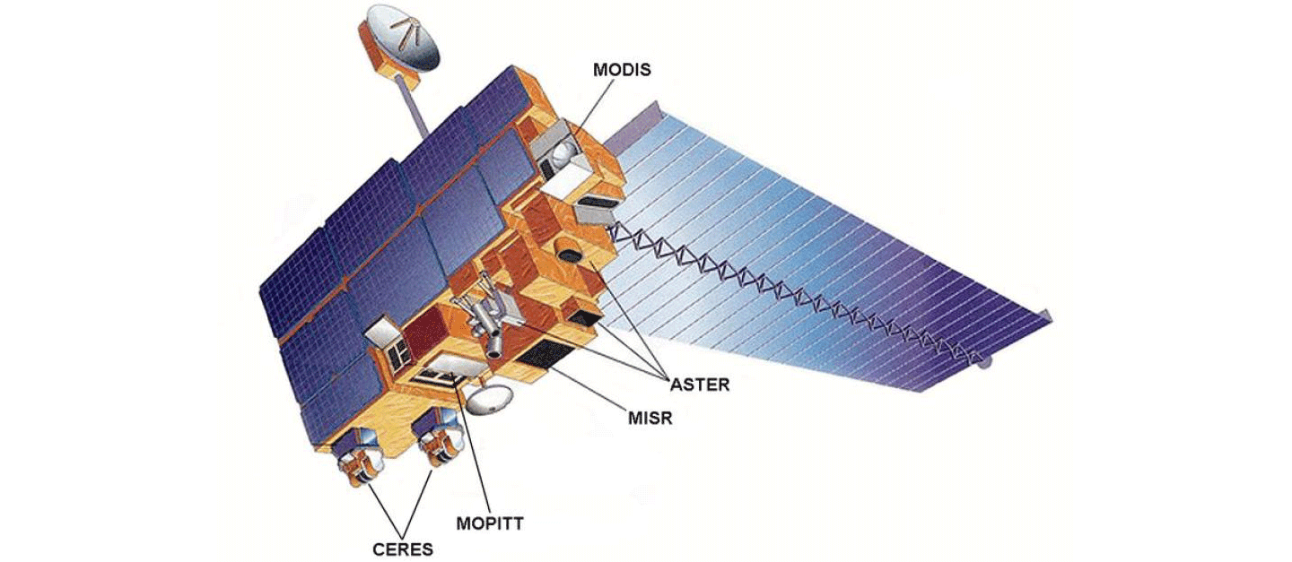
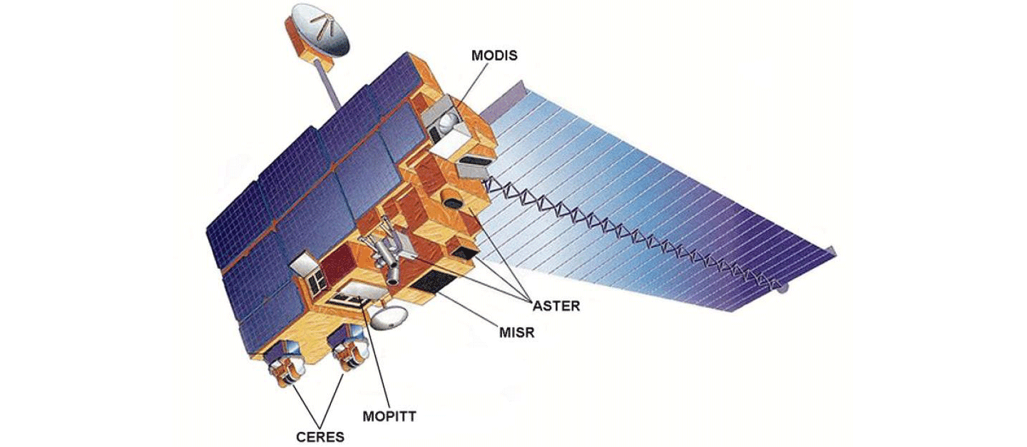
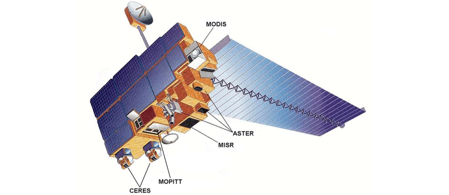
According to its methodology, Fire Watch uses thermal sensors MODIS on Terra and Aqua, and VIIRS on NOAA-20, for active-fire detections. Sentinel-2 imagery supports seasonal burnt-area estimates, while Meteosat 8 and 9 observations show the daily timing of detectable burning at roughly 15-minute intervals.
iFOREST cautions that detections are not a direct count of individual fires: the same event can be observed repeatedly, while small, short-lived or cloud-obscured fires may be missed. Its methodology advises against using the dashboard as a farm-level enforcement tool.
The portal states that burnt-area analysis will be updated at the end of the season. This indicator estimates cropland surface changes consistent with burning rather than live fire activity. The methodology notes that cloud cover, missing imagery and changes such as harvesting or tillage can complicate interpretation.
Reporting trail
Primary sources
For an image post, download the card and copy this suggested caption.
The public tool combines fire detections, daily timing and seasonal burnt-area estimates across four Indian states. Burnt-area analysis is released after the season. Read the full report: https://www.spaceexploration.in/news/iforest-fire-watch-dashboard #SpaceExplorationNews #SpaceNews #SpaceScience