Space missions
Charter adds Canadian radar maps for Andhra flood districts
Six additions bring the Arnab activation record to 16 products; the newest reference map is dated November 6 and covers four Andhra Pradesh districts.
Add us as a preferred source on Google Add us as a preferred source on Google
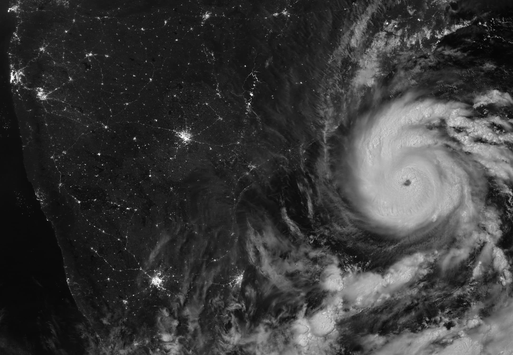
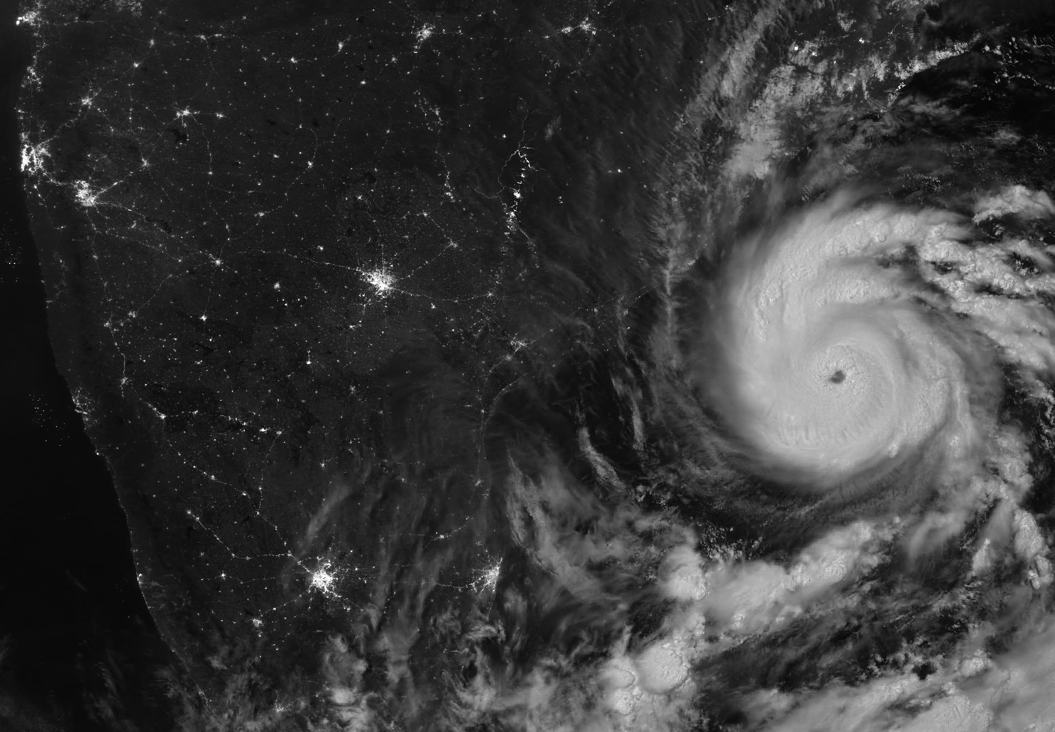
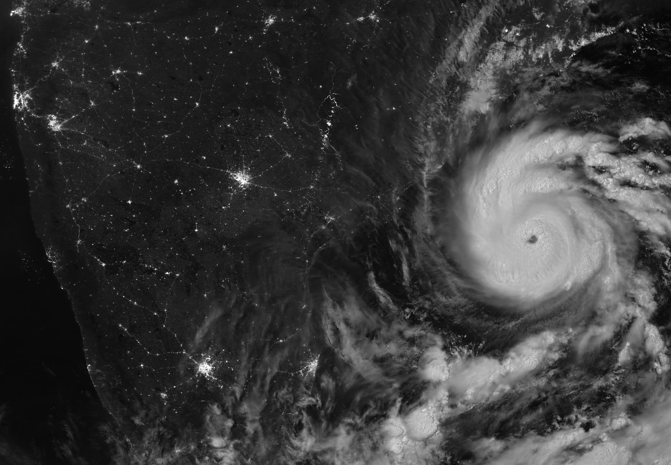
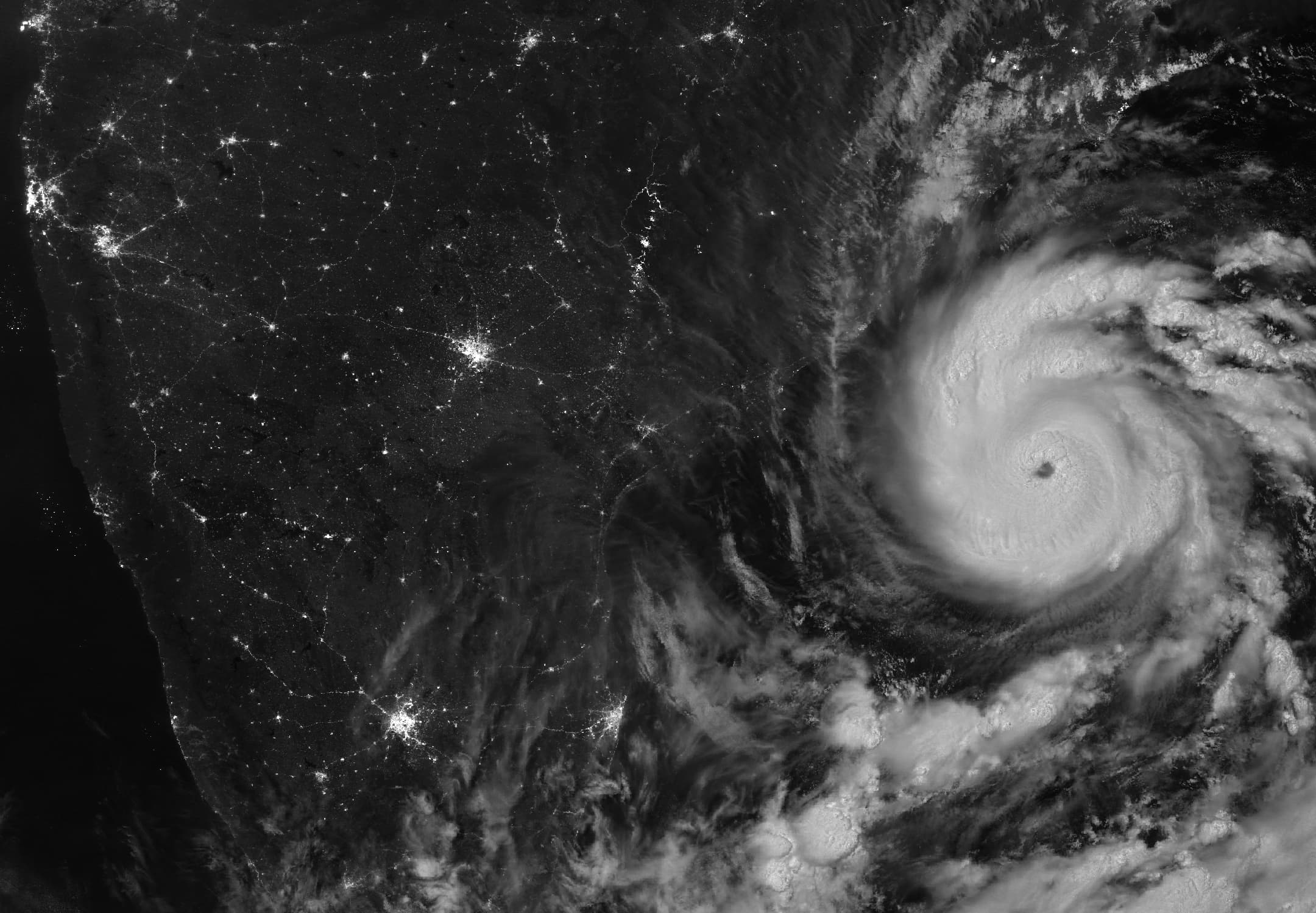
The International Charter Space and Major Disasters has added a Canadian satellite reference map for Bapatla, Prakasam, Guntur and Palnadu districts in Andhra Pradesh after Cyclone Arnab. The official panel gives November 6, 2026 as both the map’s creation date and the acquisition date of its RCM-1 imagery.
The public activation record now lists 16 products, six more than the ten covered in our November 5 report. All six additions identify NRSC/ISRO as producer and are classified as reference maps.
Four maps dated November 5 use imagery acquired that day from the RADARSAT Constellation Mission, or RCM. Their titles cover areas around Kakinada, Konaseema, Anakapalli and East Godavari. The panels credit the imagery to the Government of Canada. A separate November 5 map for East Godavari and Kakinada lists SAOCOM imagery acquired on November 1.
ISRO requested activation 1056 on October 29 at 7:48 a.m. Indian Standard Time. The record remained marked ongoing when checked on November 8. Publication establishes the maps’ availability; their use in rescue or relief operations has not been independently verified.
Update, November 8: The six additions comprise five November 5 reference maps and the November 6 map for Bapatla, Prakasam, Guntur and Palnadu. Our previous report covered two November 4 maps made with Korean KOMPSAT-3 imagery.
Reporting trail
Primary sources
For an image post, download the card and copy this suggested caption.
Six additions bring the Arnab activation record to 16 products; the newest reference map is dated November 6 and covers four Andhra Pradesh districts. Read the full report: https://www.spaceexploration.in/news/arnab-charter-rcm-reference-maps #SpaceExplorationNews #SpaceNews #SpaceMissions