Space missions
Charter adds Sentinel-2 map for Anakapalli after Cyclone Arnab
The November 3 reference map uses imagery acquired on October 30, bringing the public activation record to eight products.
Add us as a preferred source on Google Add us as a preferred source on Google
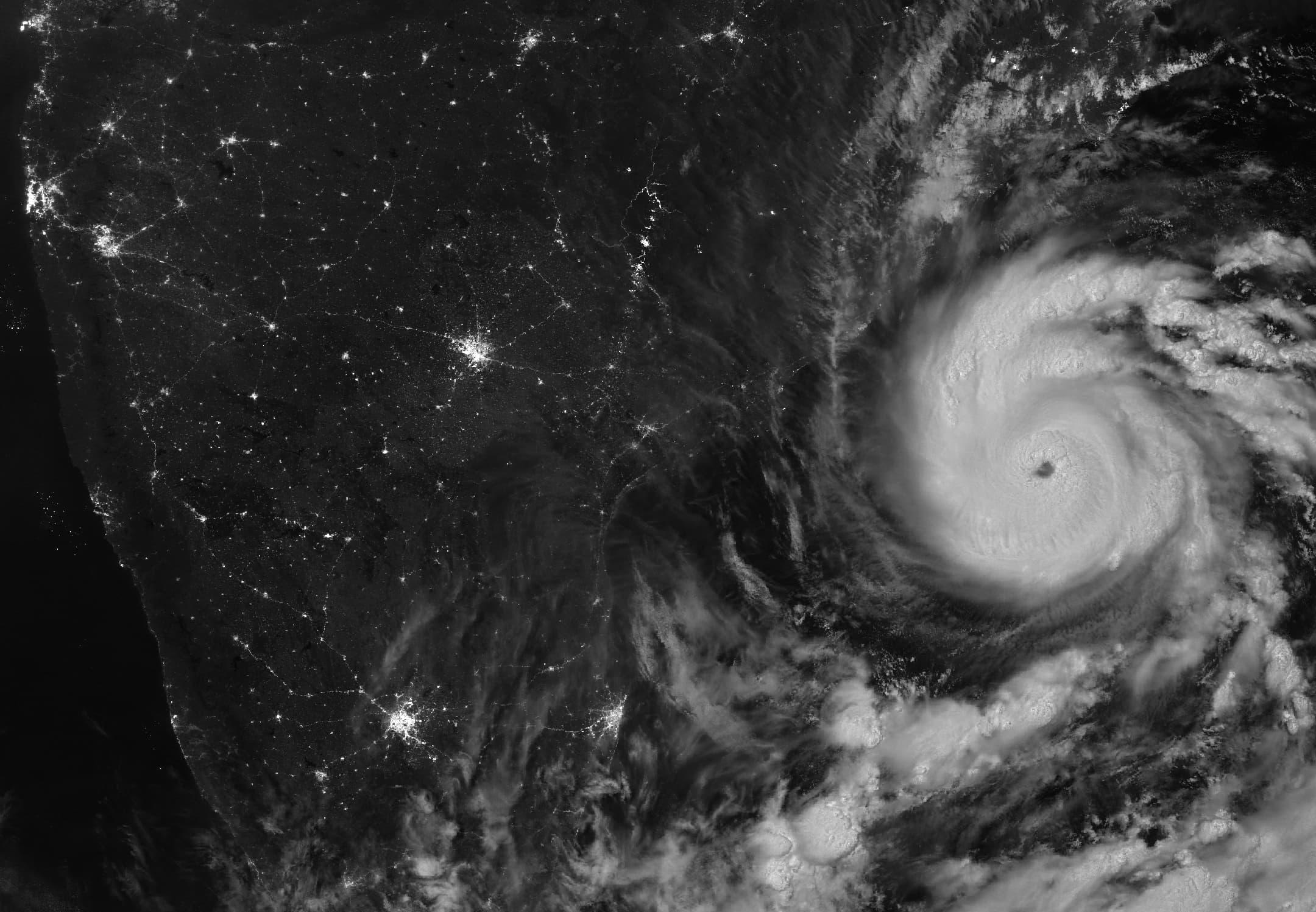
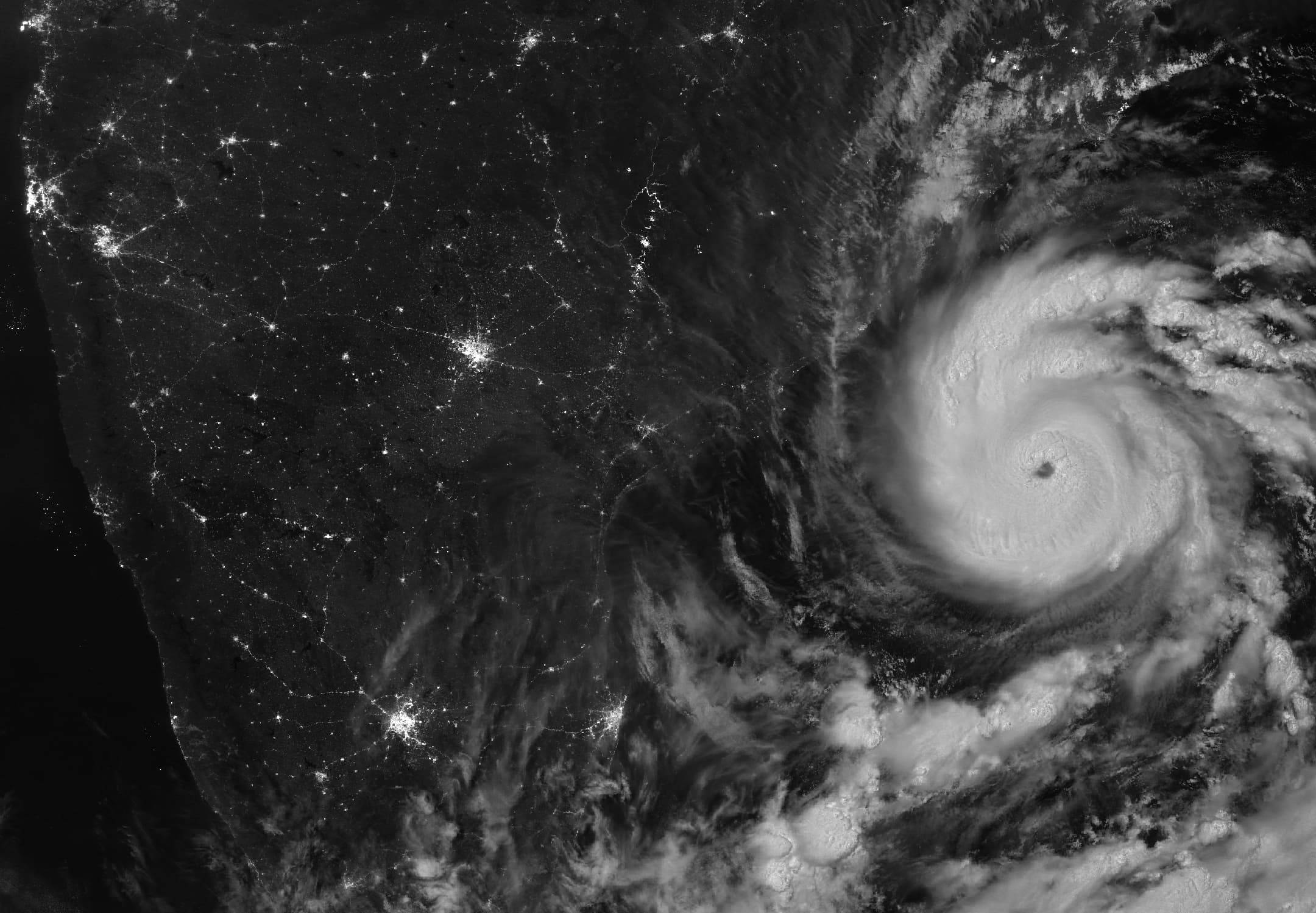
The International Charter Space and Major Disasters now lists a Sentinel-2 reference map for Anakapalli district in Andhra Pradesh after Cyclone Arnab. The entry is dated November 3, 2026, bringing the public record for activation 1056 to eight products.
The product’s detail panel identifies the National Remote Sensing Centre, part of the Indian Space Research Organisation (ISRO), as producer. It dates the Sentinel-2 imagery to October 30, four days before the map’s creation date, and credits modified Copernicus Sentinel data.
ISRO requested the activation on October 29 at 7:48 a.m. Indian Standard Time, according to the Charter record, which remains marked ongoing. The listing documents the map’s availability; its use in rescue or relief operations has not been independently verified.
Update, November 4: The November 3 Anakapalli reference map is the additional product since our previous report, which documented seven products through November 2.
Reporting trail
Primary sources
For an image post, download the card and copy this suggested caption.
The November 3 reference map uses imagery acquired on October 30, bringing the public activation record to eight products. Read the full report: https://www.spaceexploration.in/news/arnab-charter-sentinel2-reference-map #SpaceExplorationNews #SpaceNews #SpaceMissions