Space missions
Disasters Charter lists Arnab flood maps after ISRO request
The activation remains open; public entries identify mapping products without documenting their use by emergency teams.
Add us as a preferred source on Google Add us as a preferred source on Google
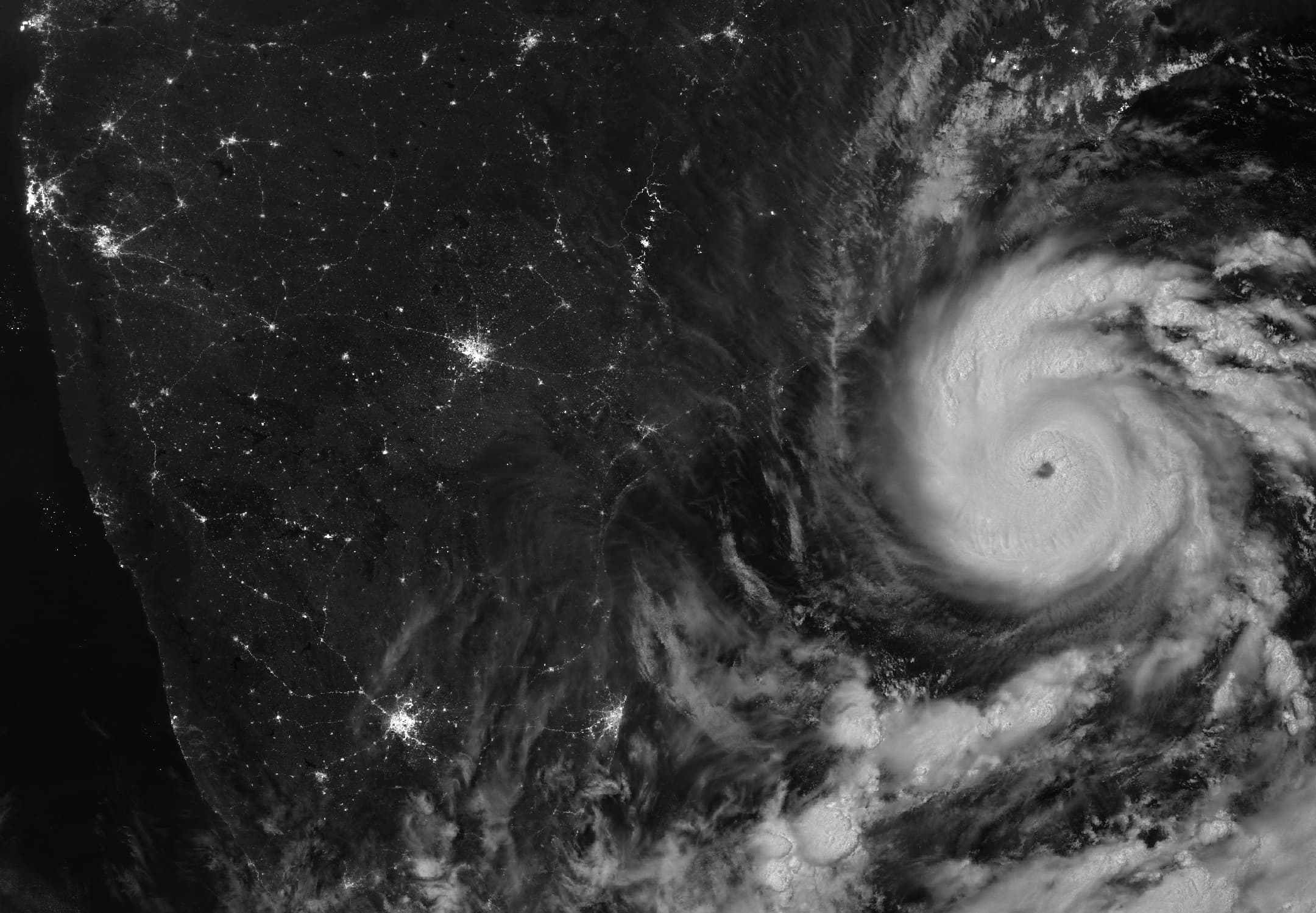
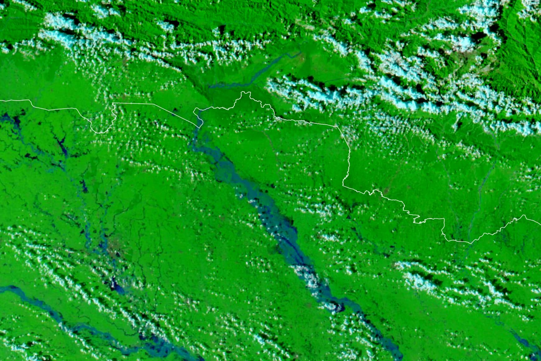
The International Charter Space and Major Disasters has listed four water-accumulation mapping products for Andhra Pradesh dated October 30, 2026, following an Indian Space Research Organisation (ISRO) request after Cyclone Arnab. Its public record dates activation 1056 to October 29 at 7:48 a.m. Indian Standard Time and names ISRO as the requester.
One product covers Srikakulam and Vizianagaram together, two entries name Srikakulam, and another names Vizianagaram. The record identifies ISRO as both the requester and the organisation adding value to the satellite data. The public listing does not give the acquisition times of individual satellite scenes.
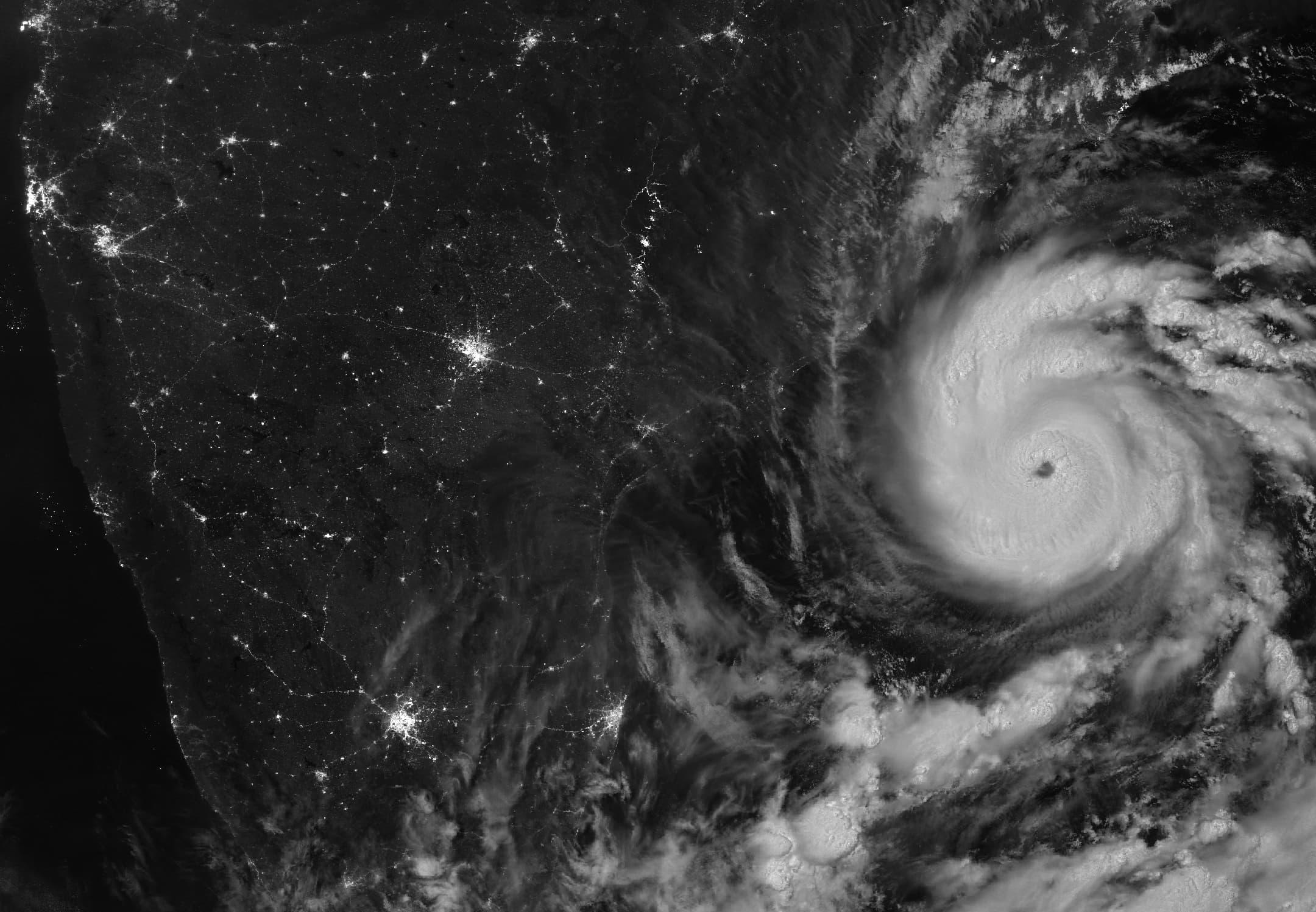
The cyclone reached the Andhra Pradesh and Yanam coast on October 28, NASA Earth Observatory’s account records. The nighttime scene NASA published was acquired before landfall, at 20:12 UTC on October 26.
The Charter listing documents a separate satellite-mapping response to the storm. Activation 1056 remains marked ongoing. The listing does not identify emergency teams that used the products or quantify any effect on rescue or relief operations.
Reporting trail
Primary sources
For an image post, download the card and copy this suggested caption.
The activation remains open; public entries identify mapping products without documenting their use by emergency teams. Read the full report: https://www.spaceexploration.in/news/arnab-charter-satellite-mapping #SpaceExplorationNews #SpaceNews #SpaceMissions