Space science
Bihar minister cites NASA images in Gandak flood briefing
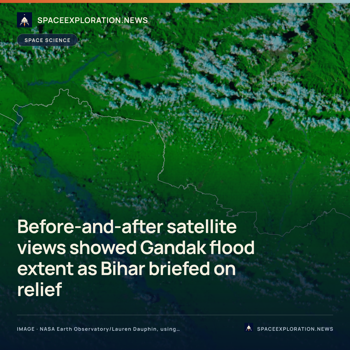
The September satellite comparison showed flood extent; the reporting does not link it to relief deployment decisions.
Add us as a preferred source on Google Add us as a preferred source on Google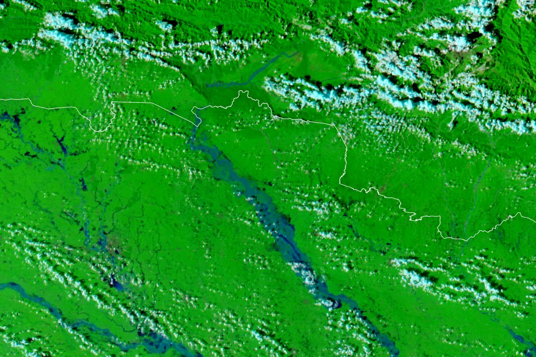
Bihar deputy chief minister and water resources minister Vijay Kumar Choudhary cited NASA Earth Observatory's Gandak flood imagery on 3 October to describe how far water had spread into the state, according to reports by The Times of India and The New Indian Express.
NASA published the comparison on 2 October. Its Terra and Aqua satellites' Moderate Resolution Imaging Spectroradiometer (MODIS) acquired the two views on 20 and 29 September. The later image shows more water along the Gandak. In NASA's false-colour rendering, floodwater appears blue and vegetation bright green.
Choudhary compared the images while discussing the river's rise after heavy rain in Nepal from 24 to 27 September, The Times of India reported. NASA's accompanying account says flooding reached settled areas including Bagaha and Areraj in Bihar.
Bihar was also conducting rescue and relief operations in six affected districts, The New Indian Express reported on 3 October. It said helicopters had delivered supplies in Saran. The published accounts establish use of the satellite views in a public flood assessment, but do not show that the imagery directed those operations.
Reporting trail
Primary sources
For an image post, download the card and copy this suggested caption.
The September satellite comparison showed flood extent; the reporting does not link it to relief deployment decisions. Read the full report: https://www.spaceexploration.in/news/bihar-gandak-flood-satellite-assessment #SpaceExplorationNews #SpaceNews #SpaceScience