Satellite fire monitoring
CEEW analysis maps crop fires beyond Punjab and Haryana
The November 6 publication uses satellite detections from 2012–2025. Its authors caution that gaps between overpasses prevent a complete fire count.
Add us as a preferred source on Google Add us as a preferred source on Google
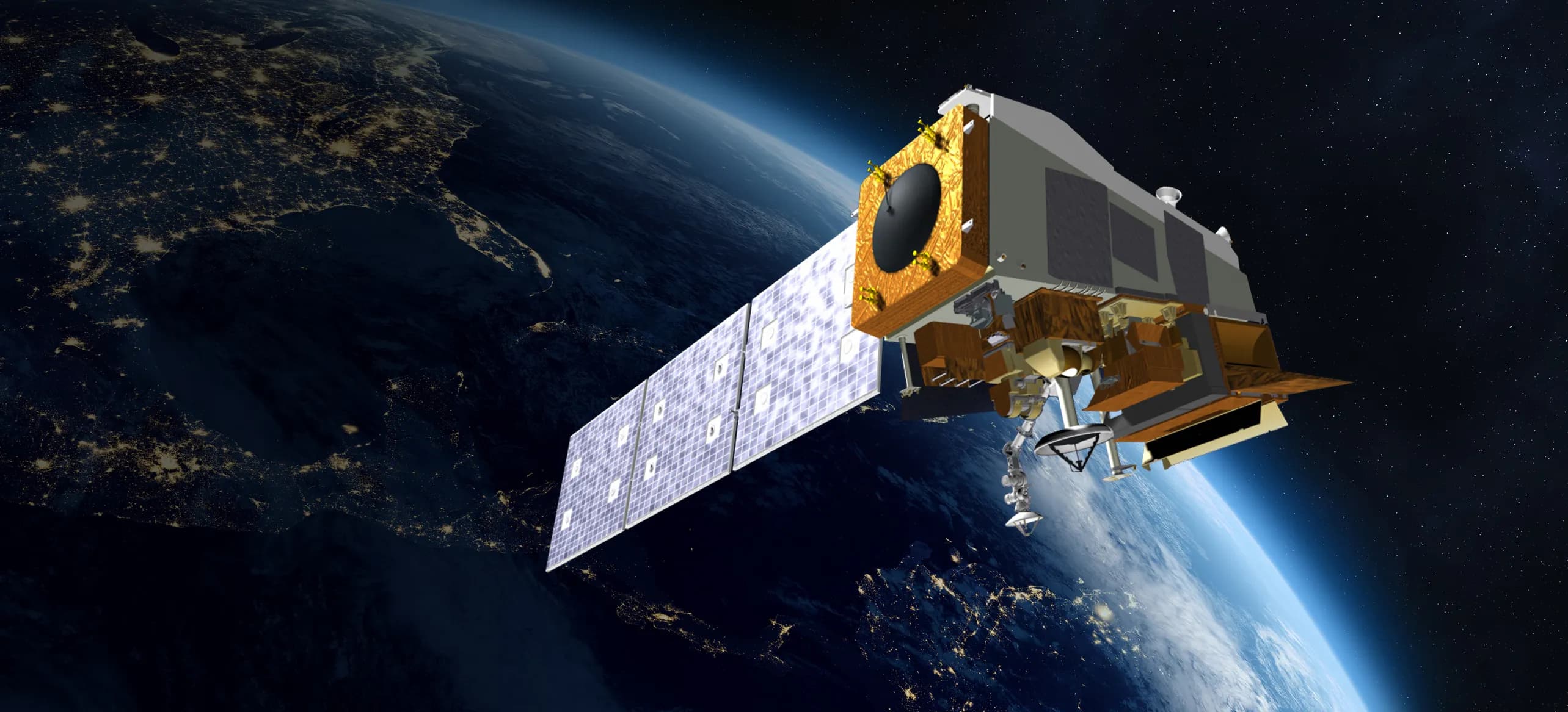
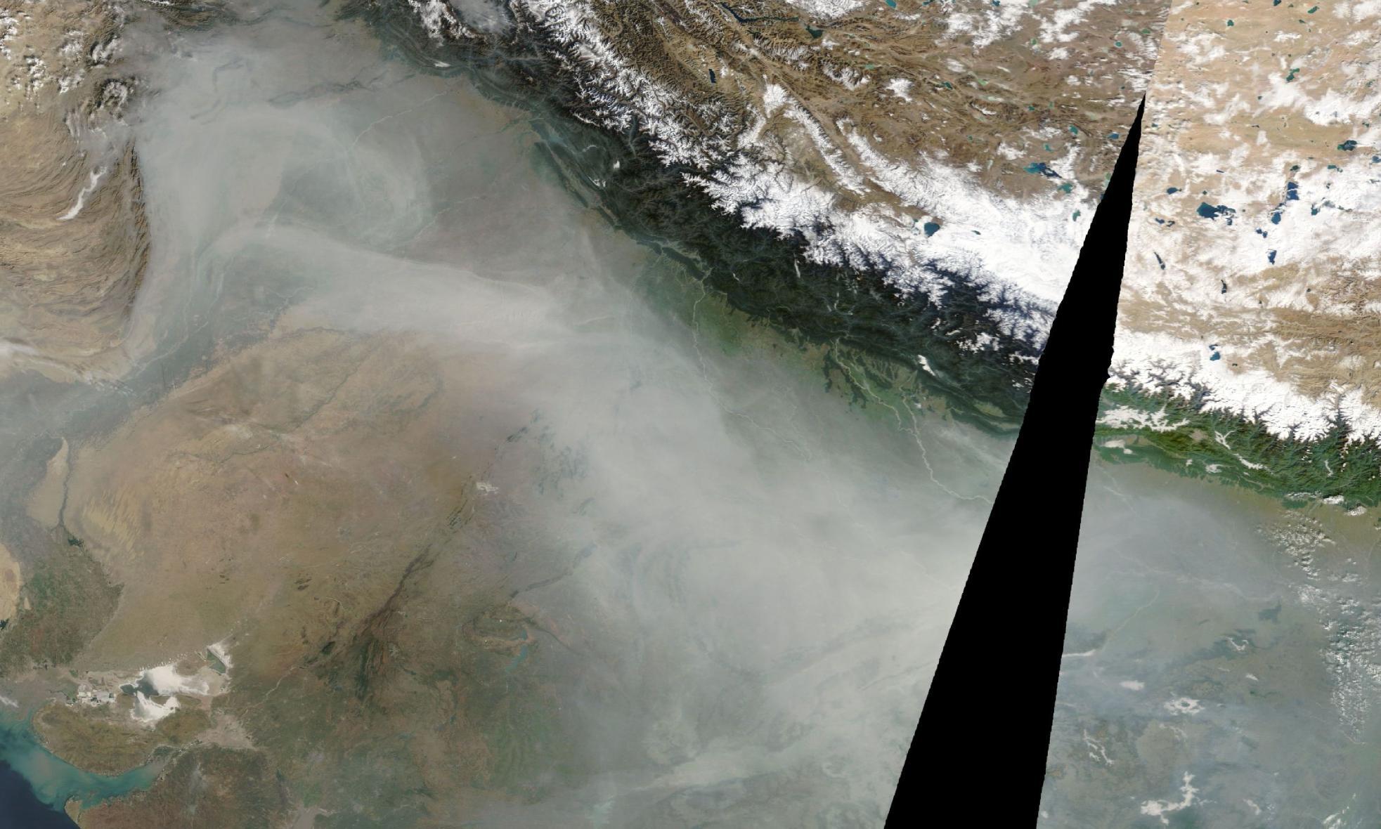
The Council on Energy, Environment and Water (CEEW) published a satellite-based analysis of crop-burning patterns on November 6, 2026. Its authors identify rising agricultural fire detections across Madhya Pradesh, Bihar, Maharashtra, Andhra Pradesh and Telangana, extending their assessment beyond north-west India.
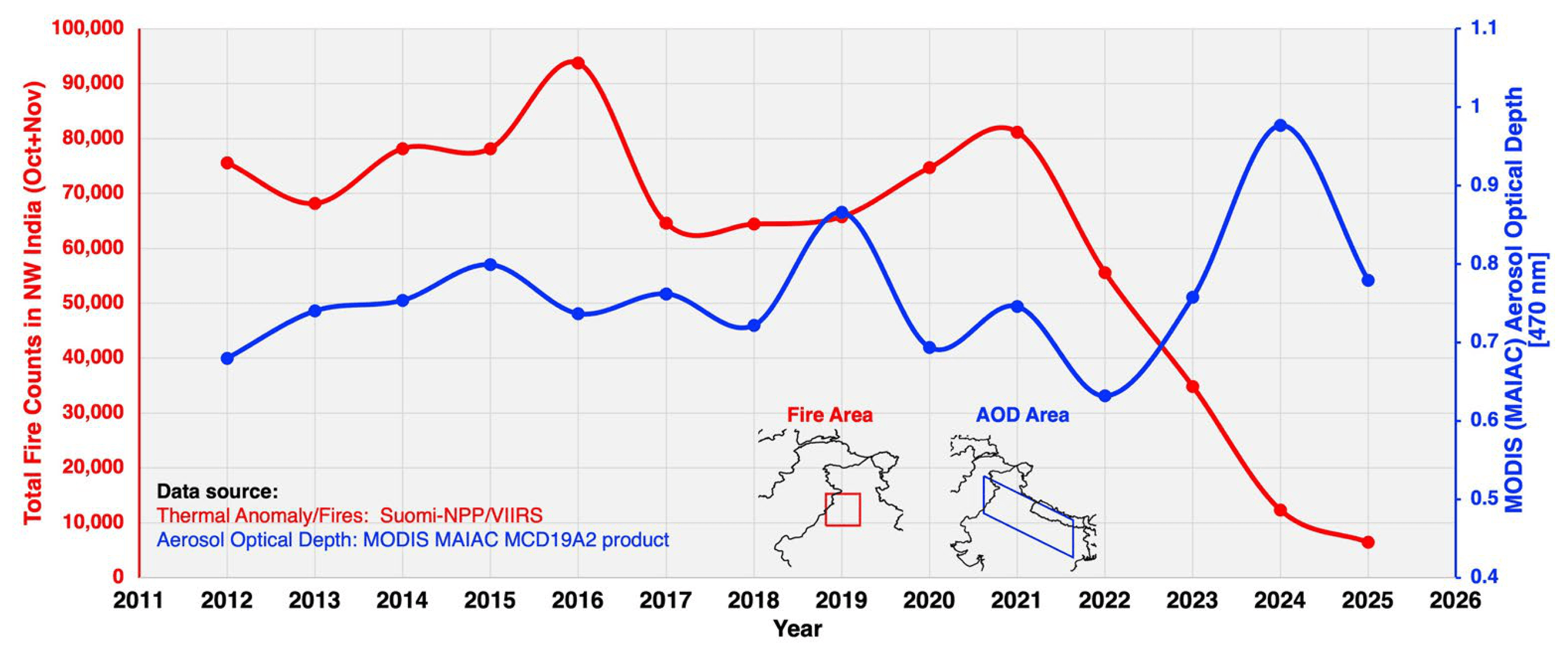
The analysis uses 2012–2025 fire detections from the Visible Infrared Imaging Radiometer Suite (VIIRS) aboard Suomi NPP. CEEW filtered the detections through a National Remote Sensing Centre cropland layer to exclude forest fires.
Its seasonal comparison covers September 1–November 30 for kharif crops and March 1–May 31 for rabi crops. Those historical observations do not measure a change during the current 2026 burning season.
The authors warn that Suomi NPP observes each location at approximately 1:30 p.m. and 1:30 a.m. local time, missing fires outside those passes. They describe the counts as indicative and recommend interpreting them cautiously.
Reporting trail
Primary sources
For an image post, download the card and copy this suggested caption.
The November 6 publication uses satellite detections from 2012–2025. Its authors caution that gaps between overpasses prevent a complete fire count. Read the full report: https://www.spaceexploration.in/news/ceew-cropland-fire-geography #SpaceExplorationNews #SpaceNews #SpaceScience