Earth observation
Satellite imagery shows November haze across northern India
NASA Worldview views dated November 8–10 trace the visible cover; ground pollution levels require separate measurements.
Add us as a preferred source on Google Add us as a preferred source on Google
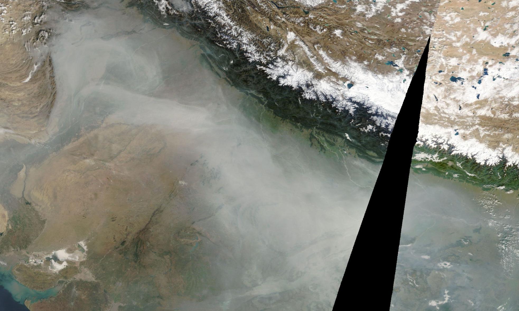
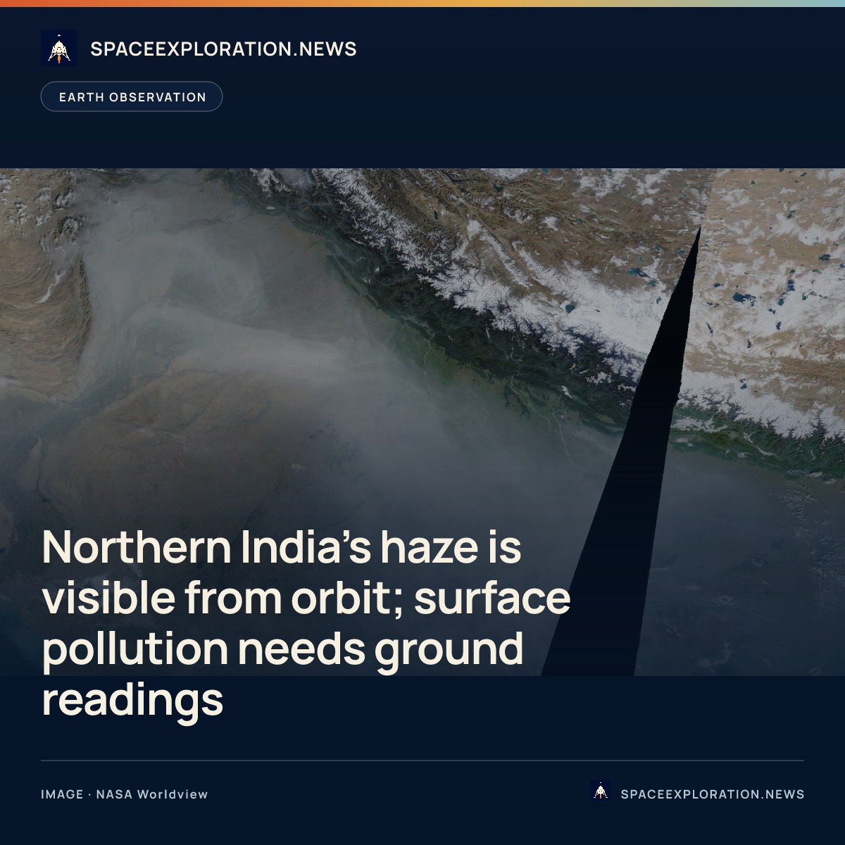
NASA Worldview imagery dated November 10, 2026, shows a broad grey haze across northern India, including the Delhi region and Uttar Pradesh. NDTV and Moneycontrol used the satellite views in reports published that day; both also reproduced November 8 imagery showing haze over Delhi and western Uttar Pradesh.
NDTV’s comparison included a November 9 view, describing the haze as thinner and more scattered than in the November 10 image. That is a comparison of visible cover, rather than a measurement of how much pollution people breathed at the surface.
Ground observations provide a separate reading. Moneycontrol, citing the Central Pollution Control Board, reported Delhi’s Air Quality Index at 299, in the poor category, on November 10, compared with 376, in the very poor category, on November 9. Those figures were reported separately from the satellite imagery.
NASA’s guidance on interpreting satellite images explains the distinction: particles visible from orbit can be kilometres above the ground, so ground measurements are needed to establish pollution levels near the surface. Smoke, dust and haze can also look alike in photo-like imagery. The grey cover alone cannot establish which source contributed how much.
Reporting trail
Primary sources
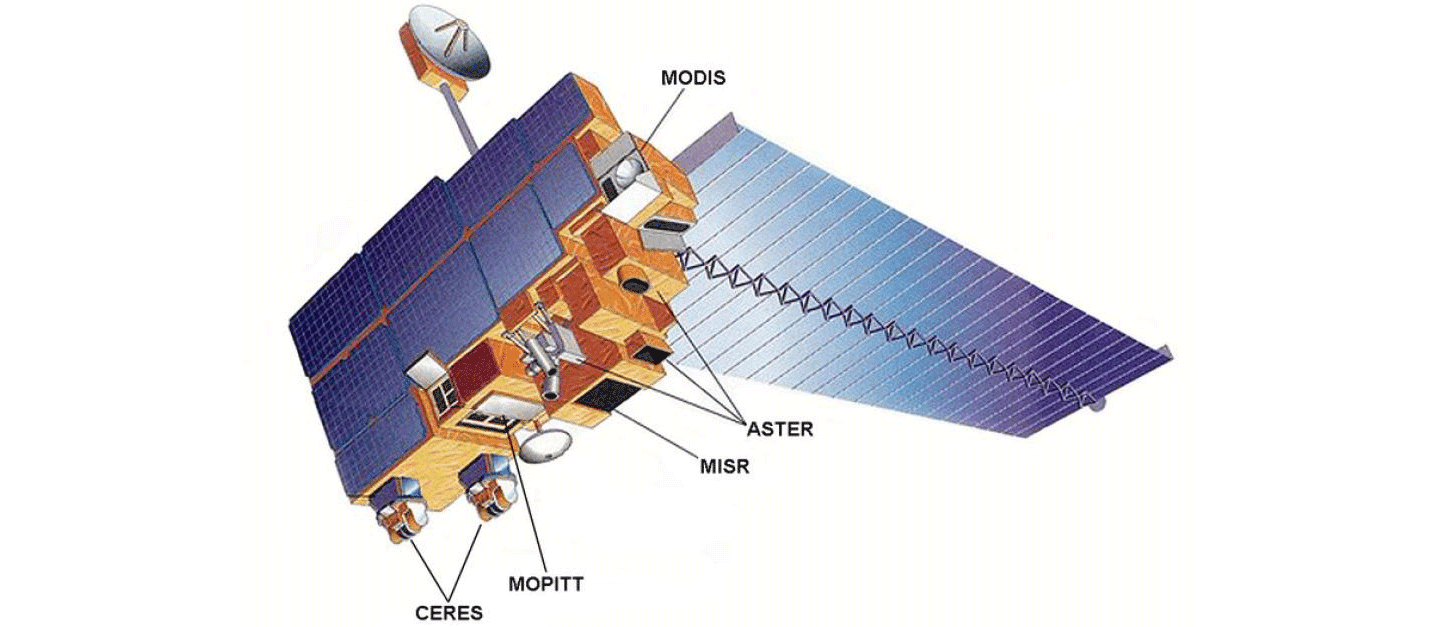
NASA WorldviewTerra/MODIS corrected reflectance true-colour imagery, November 10, 2026worldview.earthdata.nasa.gov
NDTVSatellite Images Capture Thick Smog Over Northern India 2 Days After Diwalindtv.com
MoneycontrolNASA satellite image captures thick blanket of haze covering North India after Diwalimoneycontrol.com
NASA TerraSatellite Observationsterra.nasa.gov
For an image post, download the card and copy this suggested caption.
NASA Worldview views dated November 8–10 trace the visible cover; ground pollution levels require separate measurements. Read the full report: https://www.spaceexploration.in/news/worldview-north-india-november-haze #SpaceExplorationNews #SpaceNews #SpaceScience