Satellite fire monitoring
Adjusted estimate puts Punjab-Haryana crop fires near 34,000
The October 1–November 9 calculation adjusts satellite detections; it is not an observed fire census or directly comparable with Punjab’s official tally.
Add us as a preferred source on Google Add us as a preferred source on Google
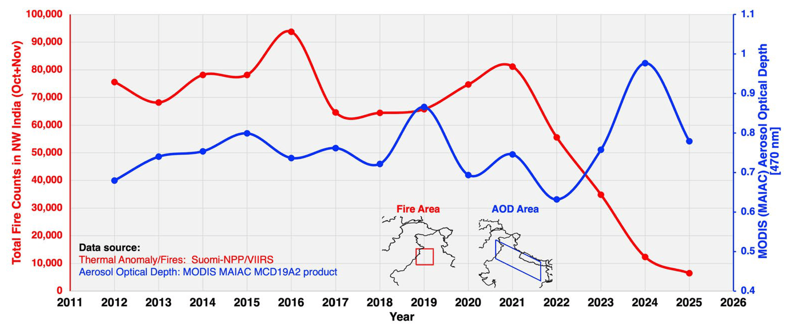
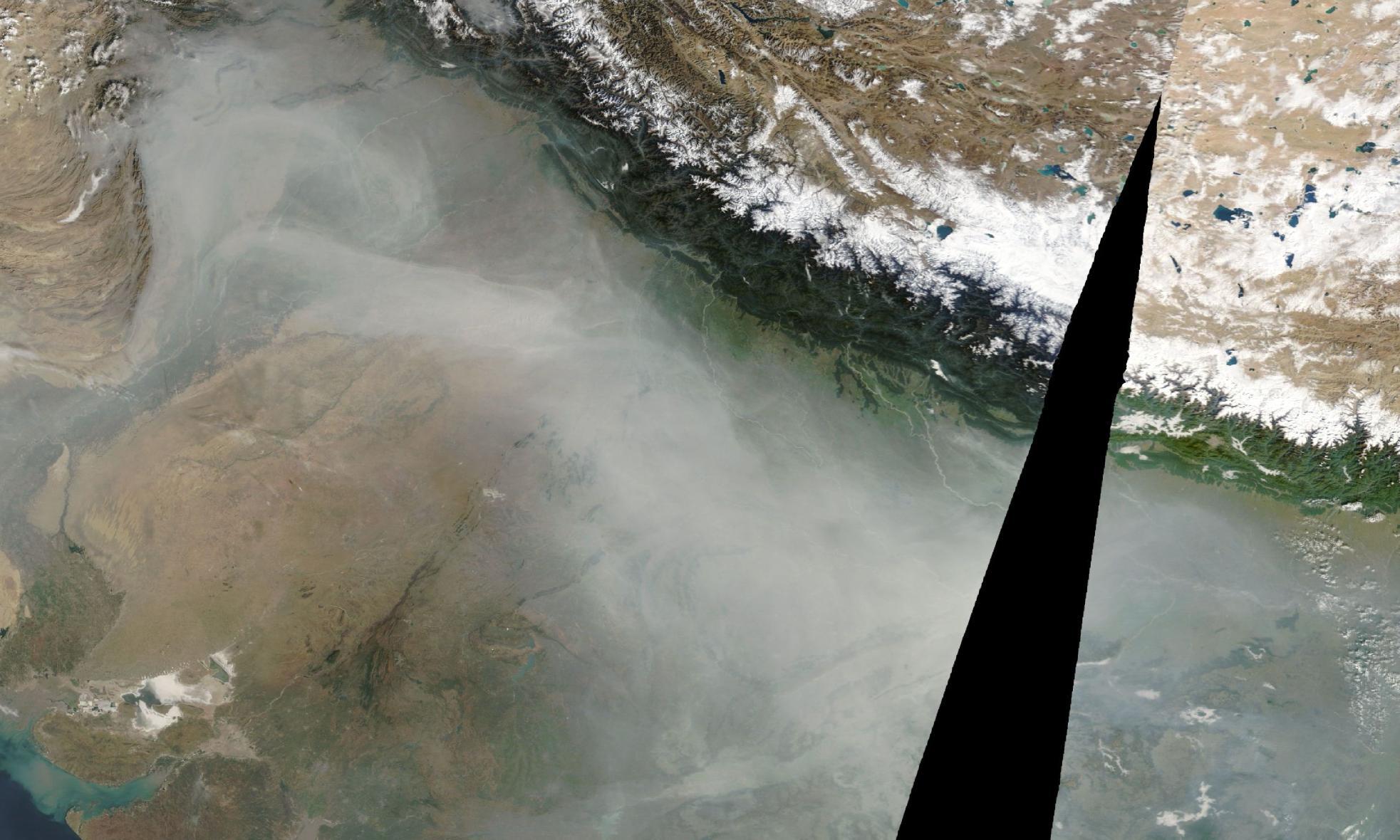
An adjusted satellite-based estimate puts crop-fire activity across Punjab and Haryana at about 34,000 events between October 1 and November 9, 2026. Aerosol researcher Hiren Jethva published the calculation on November 9 in a post reproduced by NDTV; the figure is an estimate rather than a direct count of observed fires.
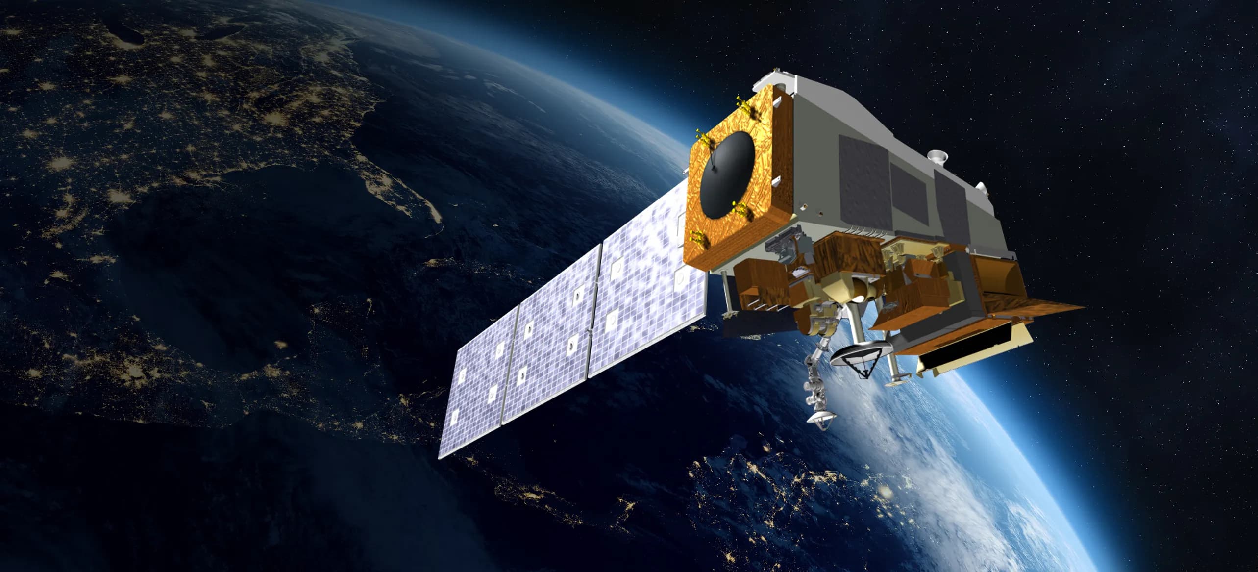
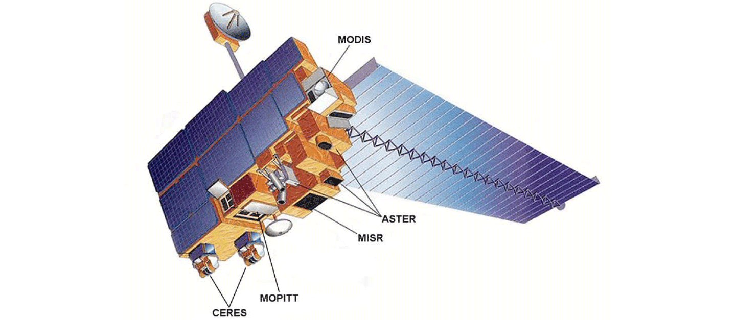
His summary lists 4,089 detections from NOAA-20’s Visible Infrared Imaging Radiometer Suite (VIIRS), observing near 1:30 p.m. local time, and 4,196 from Aqua’s Moderate Resolution Imaging Spectroradiometer (MODIS), near 4 p.m. He applies an empirical adjustment to a 375-metre VIIRS fire-count baseline to reach approximately 34,000.
NDTV also reports an official Punjab tally of 4,459 incidents through November 8. That covers one state and ends a day earlier than Jethva’s two-state estimate; the figures use different counting methods and cannot establish a like-for-like undercount ratio.
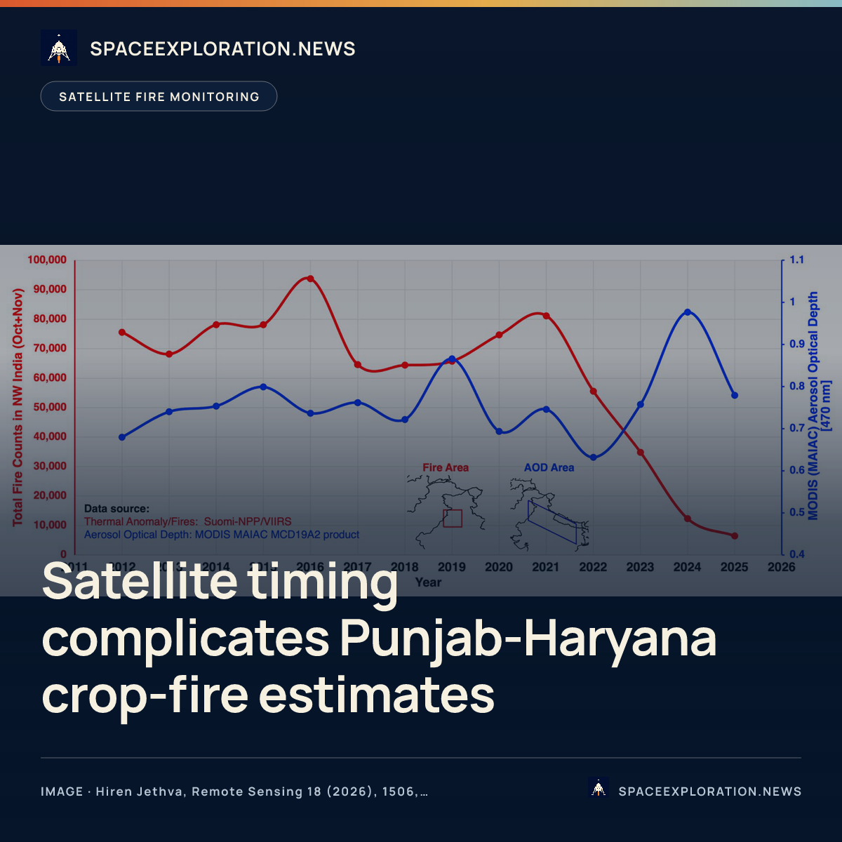
The timing problem predates this season. Jethva’s paper published in Remote Sensing on May 11, 2026, analysed geostationary observations from 2019–2025 and found that burning had shifted towards late afternoon from 2022. Fire signals peaked around and after 4 p.m., beyond the usual early-afternoon observation window of widely used polar-orbiting sensors. The study examined declining fire detections alongside rising aerosol loading.
The paper found that Aqua’s drifting orbit let MODIS capture some later burning, while still missing fires around and after 4 p.m. It also cautioned that the geostationary instrument’s roughly 4-kilometre resolution limited estimates of the full extent of burning. That earlier study documents the monitoring limitation; it does not validate the November 2026 seasonal total.
Reporting trail
Primary sources
NDTV4,500 vs 34,000: NASA Scientist Flags Punjab-Haryana Farm Fires Undercountndtv.com
Remote SensingTiming the Flames: Geostationary Satellite Detection of Diurnally Shifting Stubble Burning in Northwestern Indiamdpi.com
NASA Technical Reports ServerTiming the Flames: Geostationary Satellite Detection of Diurnally Shifting Stubble Burning in Northwestern Indiantrs.nasa.gov
Creative CommonsAttribution 4.0 Internationalcreativecommons.org
For an image post, download the card and copy this suggested caption.
The October 1–November 9 calculation adjusts satellite detections; it is not an observed fire census or directly comparable with Punjab’s official tally. Read the full report: https://www.spaceexploration.in/news/punjab-haryana-adjusted-fire-estimate #SpaceExplorationNews #SpaceNews #SpaceScience