Earth Observation
IMD publishes satellite assessment after Murasu’s Andhra landfall
INSAT-3DS imagery at 8:30 a.m. IST on November 3 placed the storm centre over land; the national bulletin recorded a crossing near Ongole.
Add us as a preferred source on Google Add us as a preferred source on Google
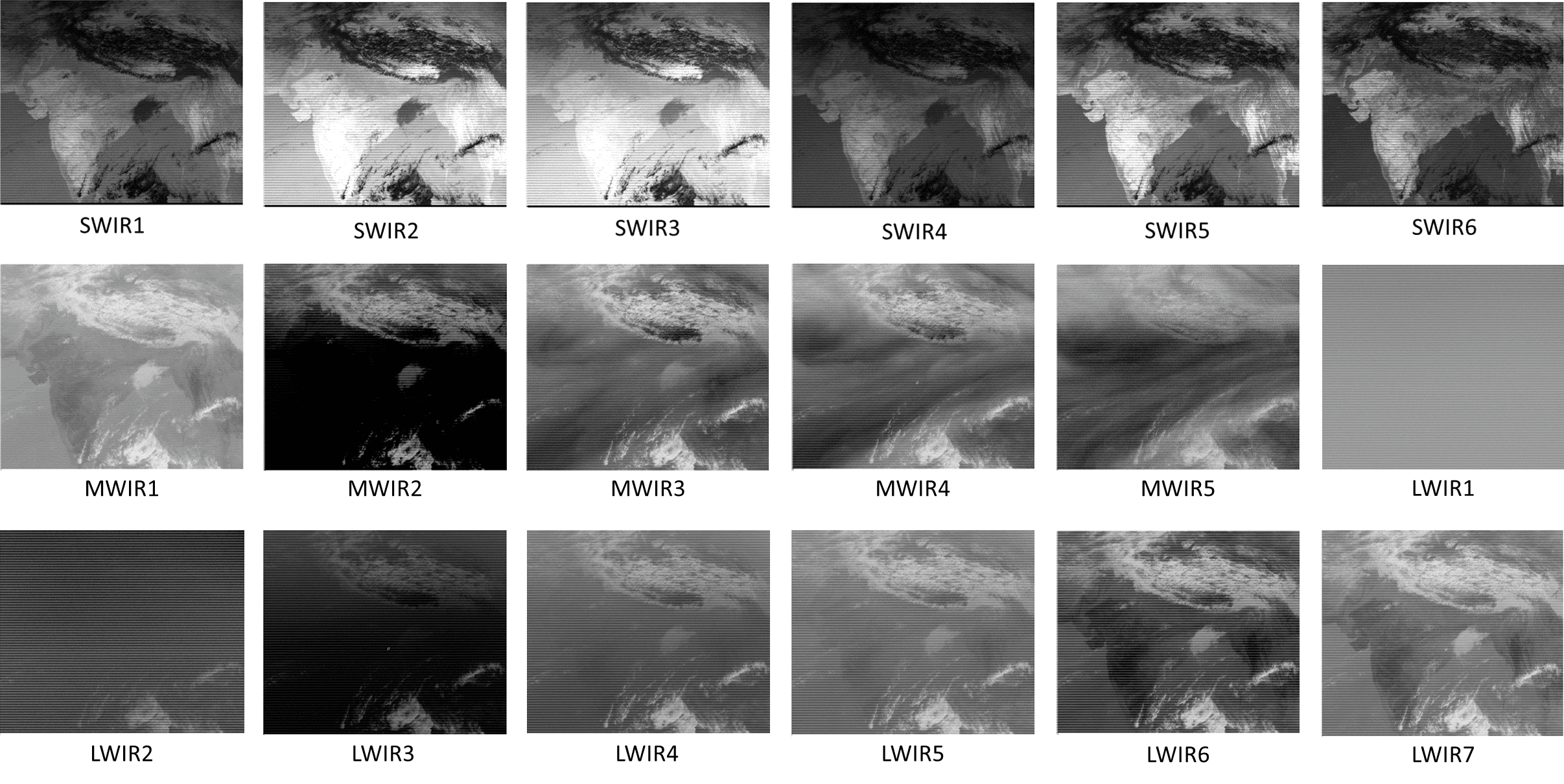
The India Meteorological Department’s November 3, 2026 satellite bulletin uses INSAT-3DS weather-satellite observations from 03:00 UTC, or 8:30 a.m. IST, to locate Murasu’s centre over land near 15.7°N, 80.2°E, in coastal Andhra Pradesh.
The department’s earlier national bulletin, issued at 7:30 a.m. IST, recorded landfall close to Ongole between 3:30 and 5:30 a.m. IST on November 3. It gave sustained winds of 100–110 km/h, gusting to 120 km/h, during the crossing.
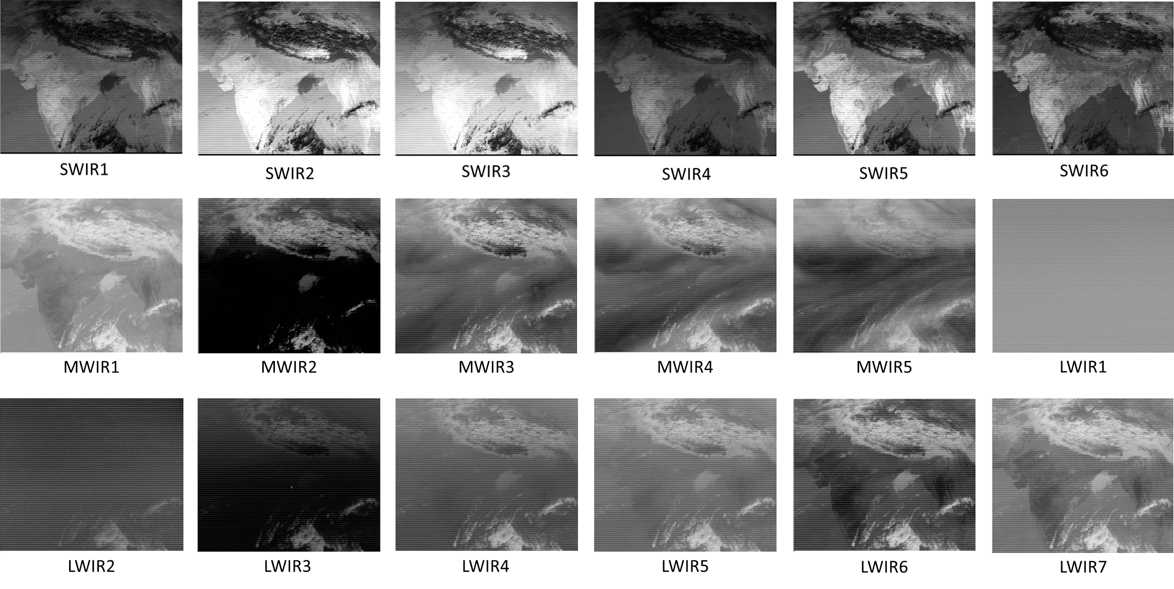
INSAT-3DS carries a six-channel imager and a 19-channel sounder. ISRO’s instrument description explains that the imager observes Earth’s surface and atmosphere across several wavelengths, while the sounder measures atmospheric radiation to derive information about the atmosphere’s vertical structure.
The satellite assessment describes intense to very intense convection over coastal Andhra Pradesh, Rayalaseema, Telangana and adjoining areas. It records minimum cloud-top temperatures between minus 70°C and minus 90°C in that cloud system.
Reporting trail
Primary sources
India Meteorological DepartmentSatellite Bulletin Based on Satellite Imageries and Products, 3 November 2026, 03:00 UTCrsmcnewdelhi.imd.gov.in
India Meteorological DepartmentNational Bulletin No.20 (BOB/09/2026), 3 November 2026, 0730 hours ISTrsmcnewdelhi.imd.gov.in
ISROINSAT-3DS begins imaging the Earthisro.gov.in
For an image post, download the card and copy this suggested caption.
INSAT-3DS imagery at 8:30 a.m. IST on November 3 placed the storm centre over land; the national bulletin recorded a crossing near Ongole. Read the full report: https://www.spaceexploration.in/news/murasu-satellite-coastal-monitoring #SpaceExplorationNews #SpaceNews #SpaceScience