Earth observation
NASA releases NISAR time-lapse of Kamchatka lava growth
The September 24 visualization uses observations from December 2025 to August 2026, showing repeat monitoring by the joint NASA–ISRO mission.
Add us as a preferred source on Google Add us as a preferred source on Google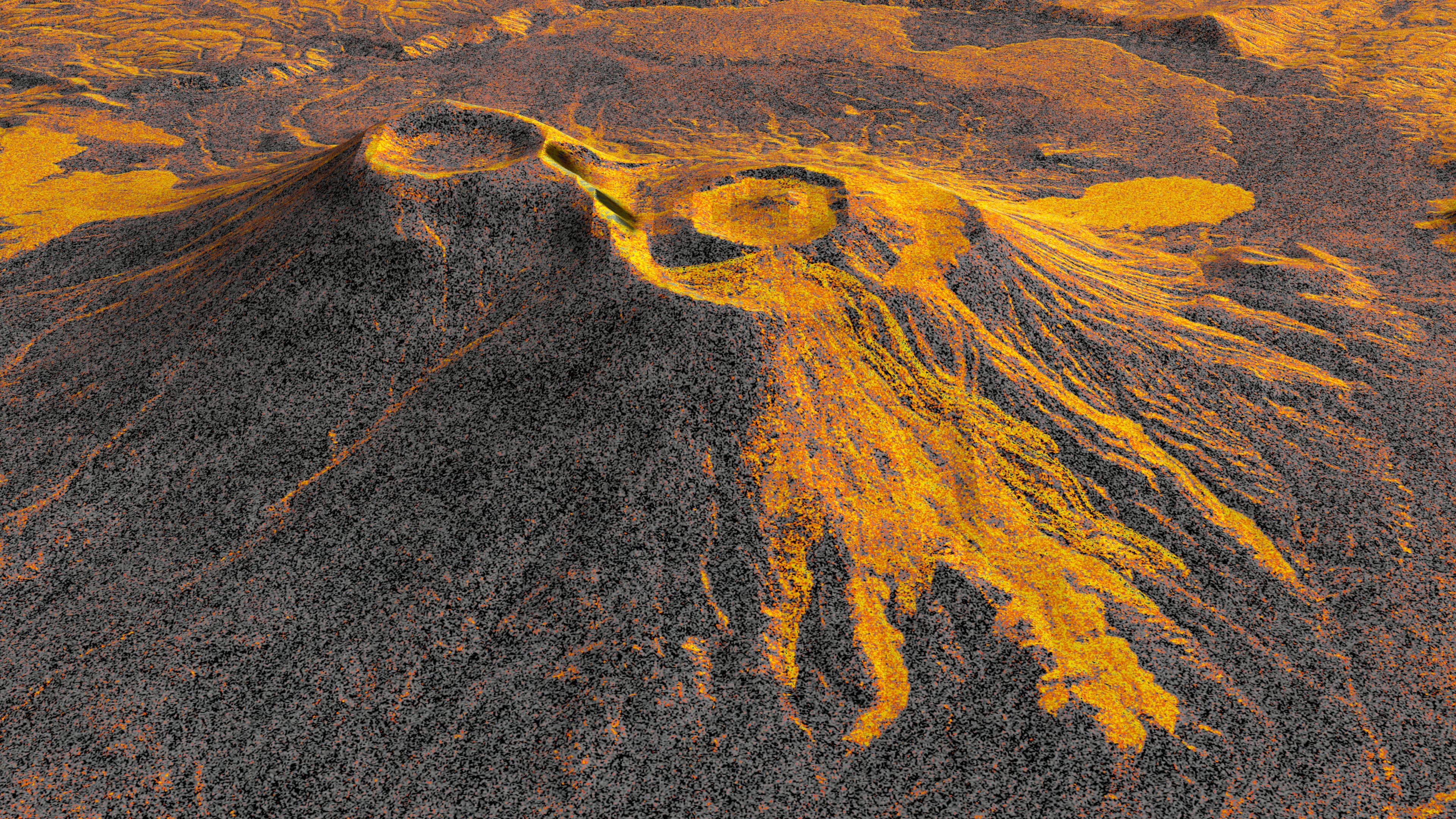
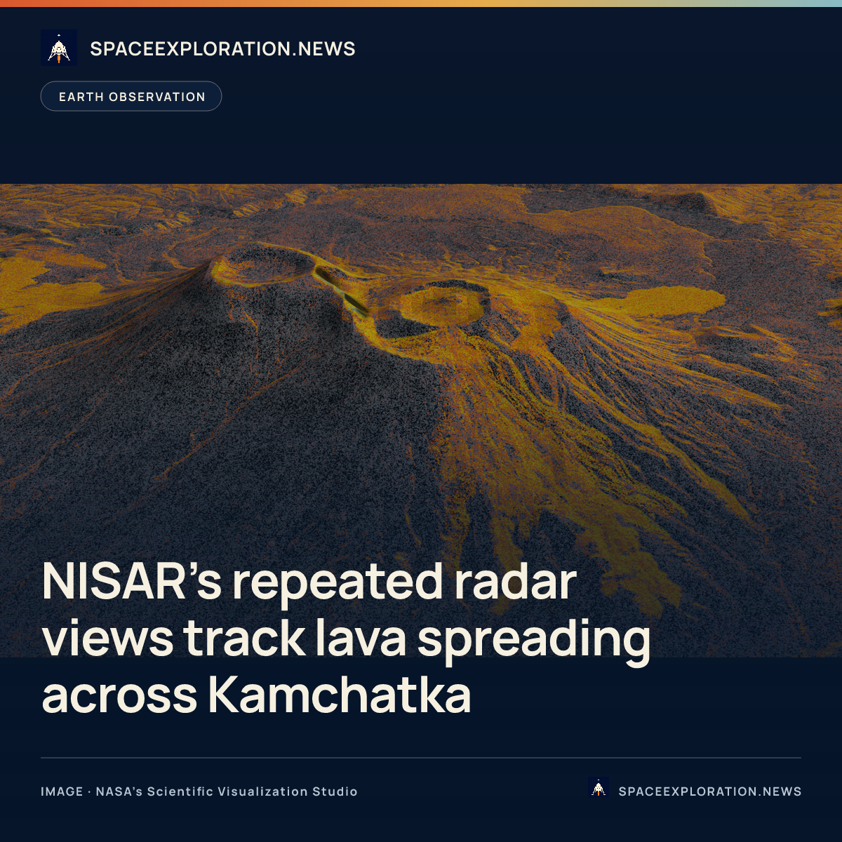
NASA’s Jet Propulsion Laboratory released a radar time-lapse on September 24, 2026, showing lava spreading from Krasheninnikov, a volcano pair on Russia’s Kamchatka Peninsula. Researchers assembled 17 observations from the joint NASA–ISRO NISAR satellite into the sequence.
The observations begin on December 25, 2025, and end on August 17, 2026, NASA’s Scientific Visualization Studio records. JPL dates the eruption’s start to August 2025. The animation follows lava filling an inner caldera, overflowing into a wider crater and spreading eastward.
JPL says NISAR revisited the area twice every 12 days, observing once while travelling northward and once southward. The radar frames have pixels representing roughly 10 metres by 10 metres on the ground. Lava appears brighter because it reflects microwaves differently from surrounding snow or bare terrain.
NISAR stands for NASA–ISRO Synthetic Aperture Radar. The Indian Space Research Organisation supplied the spacecraft bus and S-band radar, while JPL supplied the L-band radar and antenna reflector. The released volcanic sequence uses L-band observations, according to the visualization’s dataset record.
Cornell University geophysicist Matthew Pritchard, who analysed the sequence, describes consistent observations in both directions as promising for natural-hazard monitoring. JPL presents emergency response as a potential application of the observations.
The mission’s L-band data products are available through the Alaska Satellite Facility’s Distributed Active Archive Center in Fairbanks, JPL notes.
Reporting trail
Primary sources
For an image post, download the card and copy this suggested caption.
The September 24 visualization uses observations from December 2025 to August 2026, showing repeat monitoring by the joint NASA–ISRO mission. Read the full report: https://www.spaceexploration.in/news/nisar-volcano-radar-time-lapse #SpaceExplorationNews #SpaceNews #SpaceMissions