Earth observation
NISAR S-band products enter daily release through Bhoonidhi
Cycle 25 data is now flowing into an eight-product catalogue with about 48-hour operational latency, while historical scenes and calibration refinements remain works in progress.
Add us as a preferred source on Google Add us as a preferred source on Google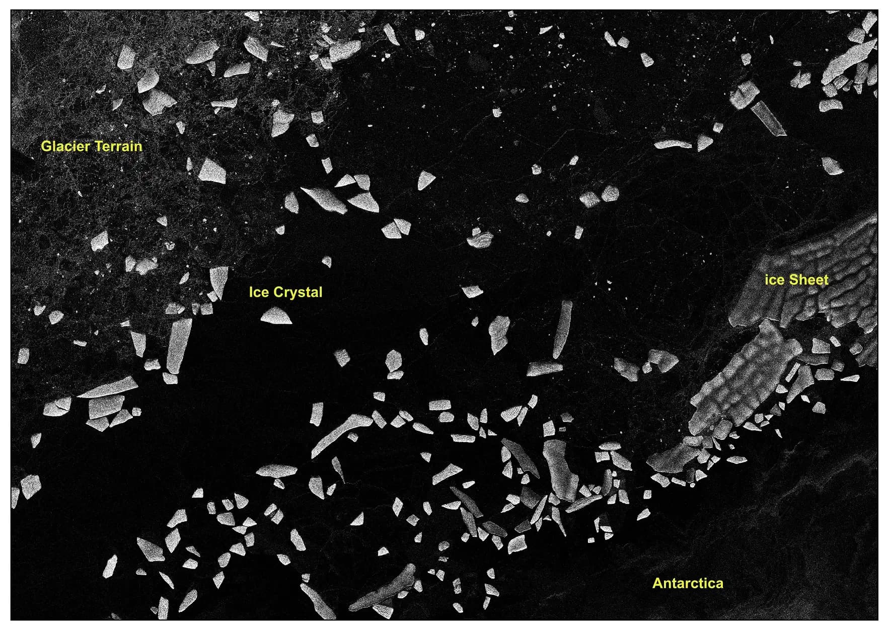
India’s NISAR data programme has moved from sample imagery to a routine distribution service. ISRO says S-band synthetic aperture radar products acquired from Cycle 25 onward are now being generated in its operational production environment and released through the Bhoonidhi portal. Cycle 25 began on July 8, 2026. That gives researchers and operational users a dated starting point for the mission’s continuing stream of processed S-band observations, rather than a collection limited to commissioning examples.
The change is narrower than a release of every NISAR observation made so far. ISRO says data acquired before Cycle 25 will be reprocessed and added to the archive in phases, but it has not published a completion schedule for that work. The live release covers S-band collections over India and global locations in the mission’s observation plan. Users looking for an older scene therefore need to distinguish between data that has not yet been reprocessed and data that was never scheduled for that place and date.
What users can download
The release contains eight named Level-1 and Level-2 product families. The standard group comprises the Level-1 Range-Doppler Single Look Complex product, or RSLC, and three map-oriented Level-2 products: a geocoded single-look complex product, or GSLC; a geocoded polarimetric covariance matrix, or GCOV; and a geocoded pixel-offset product, or GOFF. The Level-1 RSLC preserves complex radar measurements that feed higher processing, while the geocoded products place derived measurements in a map coordinate system.
Three interferometric products are also listed: the Level-1 nearest-time interferogram, or RIFG; the Level-1 nearest-time unwrapped interferogram, or RUNW; and the Level-2 geocoded unwrapped interferogram, or GUNW. The remaining Level-1 product, ROFF, contains range-Doppler pixel offsets. In practice, the catalogue lets a user choose between data closer to the radar measurement geometry and products that have already been geocoded or combined for displacement-related analysis, instead of treating every download as the same kind of image.
The current files carry product baseline version 1.4.0 and Composite Release ID P00500. Those identifiers matter when results are compared or reproduced: ISRO says calibration parameters and algorithms will continue to change over the mission’s operating life, and later processing baselines may not be identical to the files available now. A user recording only the acquisition date, without the baseline and release identifier, would leave out part of the provenance needed to understand which processing was applied.
How Bhoonidhi access works
Bhoonidhi’s Browse and Order interface is the main public access route. ISRO says registered users can search by area of interest, acquisition period and product type, then apply NISAR-specific advanced filters to visualize and download matching Level-1 and Level-2 files. Authorized users can also use the Bhoonidhi application programming interface for programmatic access. The dedicated NISAR pages collect product specifications, calibration notices and release updates alongside the catalogue, so the portal is also the place to check whether a processing change affects a planned analysis.
Bhoonidhi states that daily Level-1 and Level-2 products are normally available about 48 hours after acquisition, because processing waits for sufficiently accurate orbit information to meet geolocation and radiometric requirements. The wording is an operational estimate, not an unconditional service guarantee: the portal makes the latency subject to the availability of that orbit information. Researchers planning time-sensitive work should therefore treat the acquisition time and the product’s actual catalogue appearance as separate events.
Two supplied tools reduce the amount of local preparation needed after download. An HDF-to-GeoTIFF utility converts NISAR HDF5 files into GeoTIFF or cloud-optimized GeoTIFF and can subset a scene using a point or a polygon supplied in a shapefile. The SARPOL package works inside QGIS and supports format conversion plus hybrid and full-polarimetric decomposition. These tools do not replace scientific quality checks, but they provide documented paths from the mission’s native files into formats and software already used in geospatial analysis.
The current calibration limits
Routine publication does not mean the processing baseline is final. ISRO says the release includes its latest in-flight radiometric, geometric and polarimetric calibration, derived from a network of corner reflectors, homogeneous targets and selected science sites. The agency also says those parameters and the processing algorithms will be refined as operations continue. The appropriate reading of version 1.4.0 is therefore a traceable operational baseline, not a claim that later calibration work will leave every value unchanged.
ISRO identifies two visible limitations in the present products. Residual radiometric banding can occur in low signal-to-noise regions such as oceans, deserts and other homogeneous surfaces. Radio-frequency interference mitigation has been applied to all scenes, but residual RFI artifacts may remain in some areas. Both caveats can affect interpretation of faint or spatially uniform signals, and ISRO says improvements are planned for future releases. Users need to consult the calibration status attached to the baseline instead of assuming that a processed file is free of known artifacts.
Urgent Response and Near Real-Time products have a separate trade-off. Bhoonidhi says those files may contain partial observations, including reduced swath coverage or a single polarization, so that they can be disseminated quickly. The portal says a corresponding full-swath product will replace the partial version after it is generated. A rapid-response download can therefore be valid for immediate use while still being superseded later; preserving its product identifier and retrieval date is necessary when documenting an analysis.
From science phase to a working archive
NISAR entered its science phase in November 2025 after deployment of the shared 12-metre reflector and commissioning of the observatory. ISRO’s S-band radar had begun regular imaging over India and calibration sites after its first acquisition on August 19, 2025. The July 2026 data release is the distribution step that makes the mission’s continuing acquisitions usable beyond the teams that commissioned and calibrated the instrument, while the planned historical reprocessing is intended to fill in the earlier part of the record.
The result is a usable but still evolving service. Users can now search a defined operational stream, select among eight processing families, work through browser or API access, and cite a specific baseline. They cannot yet assume that every pre-Cycle 25 acquisition is present, that the stated 48-hour latency will apply without exception, or that the current calibration removes every artifact. This account relies on ISRO and National Remote Sensing Centre documentation; independent benchmarking of download reliability, latency and product quality was not available for this article.
Reporting trail
Primary sources
Indian Space Research OrganisationNISAR S-Band SAR Data Products Releaseisro.gov.in
Bhoonidhi, National Remote Sensing CentreNISAR S-SAR Data Products Releasebhoonidhi.nrsc.gov.in
Bhoonidhi, National Remote Sensing CentreNISAR Detailsbhoonidhi.nrsc.gov.in
Indian Space Research OrganisationNISAR Mission enters Science Phaseisro.gov.in
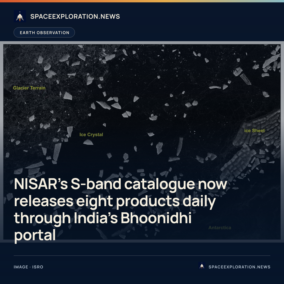
For an image post, download the card and copy this suggested caption.
Cycle 25 data is now flowing into an eight-product catalogue with about 48-hour operational latency, while historical scenes and calibration refinements remain works in progress. Read the full report: https://www.spaceexploration.in/news/nisar-s-band-data-products-bhoonidhi #SpaceExplorationNews #SpaceNews #SpaceScience