Space industry
IN-SPACe selects three firms for satellite-based city mapping
SpacePixxel Technologies, KaleidEO and Azista Industries will share ₹1.46 crore in seed support for pilots in Bengaluru and Shimla. The mapping systems remain to be demonstrated.
Add us as a preferred source on Google Add us as a preferred source on Google

The Indian National Space Promotion and Authorisation Centre (IN-SPACe) has selected SpacePixxel Technologies (Pixxel), KaleidEO Space Systems and Azista Industries for ₹1.46 crore in collective seed funding to develop satellite-based maps of Indian cities, the agency announced on November 17. The pilot demonstrations will cover Bengaluru and Shimla.
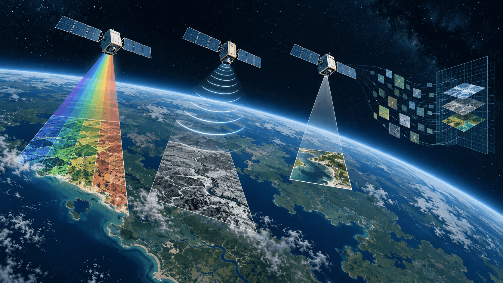
The Indian Human Settlement Layers programme will use Indian satellite imagery to estimate built-up areas, building types, heights and volumes. IN-SPACe wants the companies to reconstruct the built environment from images taken from a single viewpoint and compare settlement patterns across two periods.
The agency identifies urban planning, infrastructure, disaster-risk assessment and population assessment as intended uses, addressing a requirement from NITI Aayog. These are planned applications of the pilots; the announcement does not establish that the mapping systems have been delivered.
IN-SPACe’s technical directorate reported receiving 26 proposals, shortlisting 13 and selecting three for funding. A committee including user departments and ISRO will monitor the projects. Successful demonstrations could lead to work orders for scaling up, according to the agency.
The notice gives a collective award rather than an allocation for each company. It does not specify a disbursement schedule or a deadline for completing the pilots.
Reporting trail
Primary sources
For an image post, download the card and copy this suggested caption.
SpacePixxel Technologies, KaleidEO and Azista Industries will share ₹1.46 crore in seed support for pilots in Bengaluru and Shimla. The mapping systems remain to be demonstrated. Read the full report: https://www.spaceexploration.in/news/inspace-urban-mapping-seed-awards #SpaceExplorationNews #SpaceNews #SpaceIndustry